

Weather by route
- Home
- Subashiri route
Subashiri routeObservation point
- Measured value
- Point of Reference
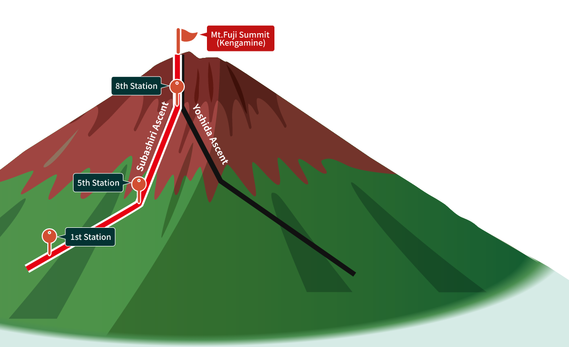
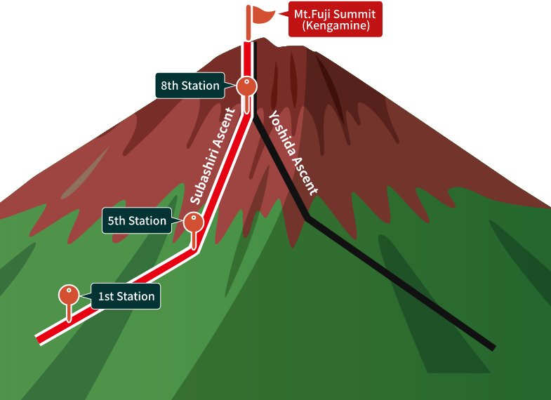
What is Subashiri route
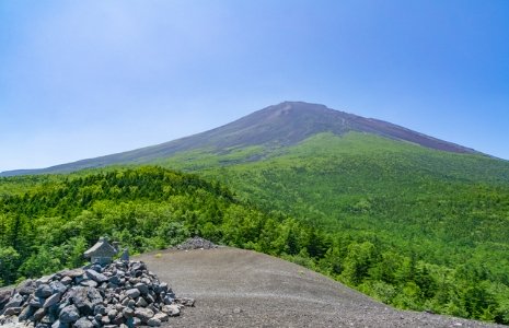
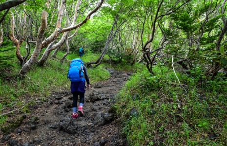
Route Characteristics
- Up to the 6th Station, the route passes through a forested area, allowing enjoyment of Mount Fuji’s rich nature and alpine plants.
- Once past the forest, sunrise and “shadow Fuji” can be seen from anywhere.
- The descent includes a thrilling straight run down volcanic gravel, known as the “sand run.”
|
Observation Point |
Temperature |
Precipitation |
Average Windspeed |
Maximum wind gust speed |
|---|---|---|---|---|
|
Mt. Fuji summit (Kengamine) [3,776m] |
9.2 ℃ |
 0.0 mm/10min [※Non-certified product] |
9.0 km/h |
|
|
5th Station [1,959m] |
18.5 ℃ |
0.0 mm/10min [※Non-certified product] |
1.3 km/h |
4.0 km/h |
|
1st Station [828m] |
22.6 ℃ |
0.0 mm/10min |
2.1 km/h |
1.3 km/h |
- Measured value
- Point of Reference