

Weather by route
- Home
- Fujinomiya route
Fujinomiya routeObservation point
- Measured value
- Point of Reference
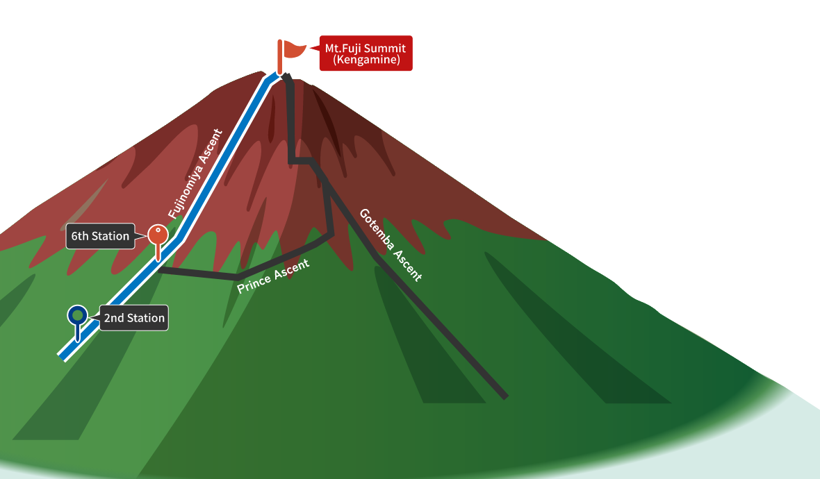
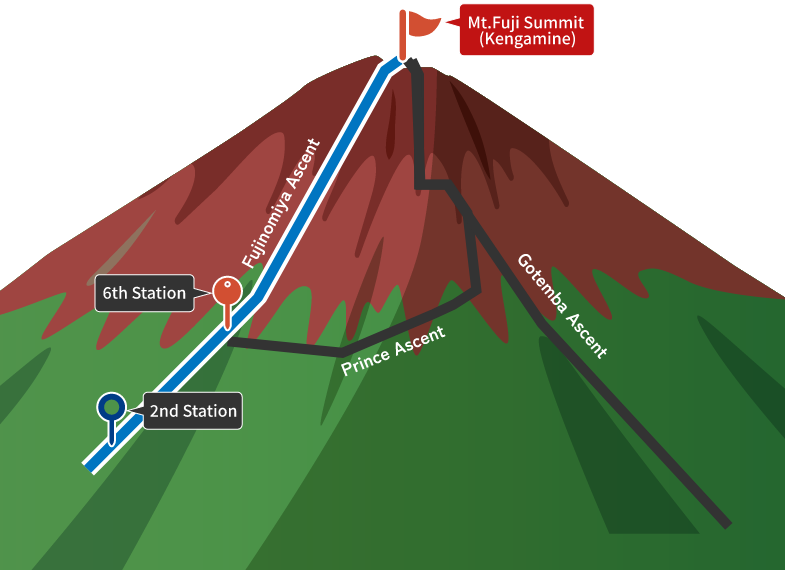
What is Fujinomiya route
Route Characteristics
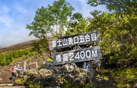
- Of the four main routes, this one starts from the highest altitude (around 2,400 meters), making the distance to the summit the shortest.
- It has the second highest number of climbers after the Yoshida Route.
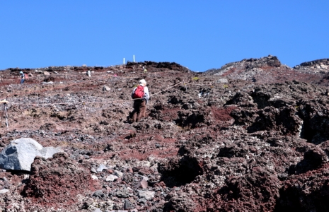
- The path is generally steep with many rocky sections.
- The ascent and descent are on the same path, making it easy to follow but requiring mutual courtesy during busy times.
- On clear days, climbers can enjoy a magnificent view of Suruga Bay spread out below.
|
Observation Point |
Temperature |
Precipitation |
Average Windspeed |
Maximum wind gust speed |
|---|---|---|---|---|
|
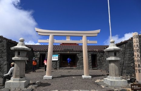
Mt. Fuji summit (Kengamine) [3,776m] |
10.0 ℃ |
 0.0 mm/10min [※Non-certified product] |
7.9 km/h |
18.0 km/h |
|
8th Station [3,264m] |
17.8 ℃ |
0.0 mm/10min [※Non-certified product] |
11.9 km/h |
|
|
6th Station [2,504m] |
19.2 ℃ |
0.0 mm/10min [※Non-certified product] |
13.2 km/h |
|
|
2nd Station Point of Reference: Gotemba route New 5th Station [1,422m] |
21.3 ℃ |
0.0 mm/10min |
1.9 km/h |
5.9 km/h |
- Measured value
- Point of Reference